
Clashduv Bridge post cleanup with improved flow

Close up view of old stone embankment

Alternate view of old stone embankment

Alternate view of river under Glasheen Bridge

View of mysterious Bridge signage on opposite
side of Clashduv Road near Clashduv Estate

Rarely seen pipe crossing on opposite side of
Bridge running adjacent to Clashduv Estate
No visit or revisit to the Deanrock area is complete without a stop off to Devils Rock. The only surviving remnant of the Quarry , it was partially converted to an R.C. Grotto in 1988. Known as the " Citadel " in the 1950s , local myth has it , that the Corporation tried unsuccessfully to blow it up but had to give up after several attempts. Perhaps this is where its more well known moniker has its origins. To the left of the Grotto entrance are two deep drill holes. Speculation was rife as to whether they could have been drill charge holes from the aborted explosive exercise all those years ago. Billy O'Brien felt it would have been remiss of himself not to climb the rock after over 40 years!

Rear left view of Devils Rock - Sheer climb

Rear middle view of Devils Rock - Access climb

Rear right view of Devils Rock - Hard climb

Top view down of Devils Rock - well worn

Billy O'Brien posing on Devils Rock
- first time since the 1970s

R.C. Commemorative plaque erected in 1988

Front view of inserted R.C. Grotto with Statue

View of Deanrock footbridge from Devils Rock

View of Clashduv Park from Devils Rock
Before the team departed , a walk through the Park was undertaken , with Dan O'Riordan explaining to the group about recent work carried out to drain the Park with the use of underground pipes. Of course this lead naturally to the subject of the famous metal pipes which criss cross the Glasheen River by both Bridges , but more spectacularly by the Deanrock footbridge ( which is extensively documented elsewhere on the blog ). Whilst these are highly visible , it is the pipes under the Clashduv Bridge and opposite the road on its other side which are less so. Guesswork as to their usage range from electrical conduits to water-pipes to sewage pipes but the truth is still being searched for.

Clashduv Park side of Glasheen River

Clashduv Park side - banks foliage trimmed back

Clashduv Park side - extensive clearance
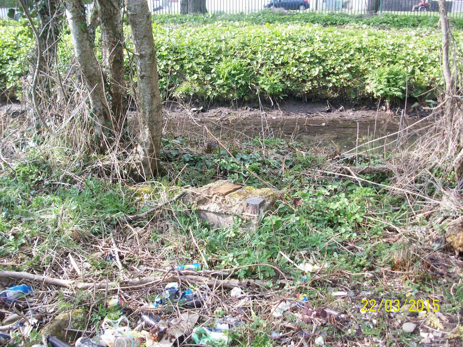
Clashduv Park side - unknown masonry
discovered in undergrowth
With the use of two cars , the Team formed a cortege and journeyed up to Lehenaghmore and its primary destination - the Farmers Cross region. One objective were to the fore ; to photograph the Lehenaghmore streamlet which emerges as a spring to the rear of the Airport and which also acts as the physical South Eastern boundary of Lehenaghmore/Togher. Firstly , a brief walkabout of the area was undertaken by all to ascertain the boundary close up at this location. At this point , James O'Brien and Dan O'Riordan departed having prior commitments elsewhere. Undeterred the remainder of the Team set off down the Airport Road in search of the southerly Lehenaghmore Boundary. Whilst satellite GPS and Mobile Google Maps had to be brought into use because of the uncertainty of the location , other exciting finds presented themselves in the form of a forked stream and an old stone Cottage , alas outside Togher's territory but highlighting the fact that a lot of natural and man made history can be found almost anywhere one cares to look. Back on track , the group had to make do with speed flash photography from a side open car window , due to the dangerous speeds encountered on this stretch of road. The boundary of Lehenaghmore showed itself in the form of a deep ridge flanked by a hill to its north with a spring stream flowing towards the road , and presumably under a bridge ( which needs further investigation ) and onwards and following a gradient away from Togher on its opposite road side.

Farmers Cross , Lehenaghmore

Right hand side of road leading off Farmers Cross
showing marshy ground

Left hand side of road leading off Farmers Cross
showing scrubland

Ditch line in background marking South Eastern
boundary of Lehenaghmore , Togher

Close up view of ditch line boundary showing
spring running eastwards towards Airport Road
The next destination proved to be the most exciting of all as the group pulled in towards the original route the " Airport Road " would have followed prior to its straightening back in the 1960s to facilitate traffic to the new flyway. Just before the turn off from the loop back onto the main road , it was decided to stop and search for a possible bridge. What was found astounded all present and literally took their breaths away. A bridge was indeed found , looking almost Tolkien in appearance , the huge stones having partially collapsed down on themselves , their sheer weight and closeness of join literally holding the whole structure in place! A spring at the base of the rocky enclave emanated from a fissure which had discolored the face of the boulders over which it passed. The Glenmore River was a mere trickle as it appeared from the right of this feature and meandered placidly through a sandy bed. The view was heart stopping as was the height of the bank - between 40 and 60 feet down to the bottom. The slope was constituted of very fine soil which made it impossible to descend for a closer inspection. The opposite side of the road afforded a better view and also gave a good impression of the scale of the depression the River made , with the land more uneven at this juncture. A man made V-shaped structure lay at the bottom right hand side whose purpose is at present unknown. It was speculated that it could be another spring or water outlet. The purpose of the Bridge itself posed many questions , not least the difficult task of erecting it in the first place. The reason for its construction lent itself to the notion of an important access point at this part of the old road back in the 17th to 19th Centuries - crossing from Lehenaghmore into Ballycurreen and vice versa. It is impossible for the camera lens to accurately translate what the human eye can perceive as is the feeling of depth perception , but it is hoped that the photos give some clue as to what was experienced on the day. The Team then set off back down the Airport Road , paying homage to the Mass Rock , which is partially covered over by trees and vegetation on the opposite side of the road. It is thought that a cross was carved into the stone in the 1950s by an American returning home to mark the spot for posterity. Even though it lays outside Togher's boundary , it was intriguing to say the least and something for other local History Groups to investigate further.

Old stone Bridge off Airport Road
near modern Pegasus Sculpture
Video showing old Stone Bridge
and deep floor bed of Glenmore River
Video showing opposite side of Glenmore River
as it rapidly descends down a steep gradient
towards Pouladuff Crossroads , Togher

Zoom shot of spring near old Stone Bridge

Billy O'Brien on slopes of Glenmore River

Zoom shot of V-shaped water outlet on
opposite side of old Stone Bridge

View of deep gulley opposite
side of old Stone Bridge

Remnant of original Togher Road entrance to
Garrane Darragh House off Sarsfield Road

Opposite side of high tree lined embankment
of original roadway to Garrane Darragh House
from Togher Road
Kathleen O'Keeffe suggested that the Team visit a site clearance on Doughcloyne Hill before calling it a day. Previously hidden from view by considerable coverage of trees and vegetation the clearing back revealed a house. It is thought it may date back to the 1920s or 1930s. Speculation ensued as to whether this house would soon be demolished to make way for a new build. Eamonn Pearse departed at this juncture but it was decided by the remainder of the group to pay a visit to Woodhaven as Billy O'Brien was absent from the last FieldworkTrip to this particular spot.

Old Cottage uncovered after major tree
clearance on Doughcloyne Hill

Billy O'Brien near iron wrought gates

Billy O'Brien taking shelter behind pillar trying
to capture photographs in very sunny conditions
Although heavily photographed previously , it was decided to video the Bridge and Glasheen River at Woodhaven to bring it to life on the blog. At this stage , it was decided to wrap things up and digest all that had been seen throughout the afternoons travels. The end of another fantastic jaunt around Togher.
Glasheen River in Woodhaven Estate , Togher
No comments:
Post a Comment