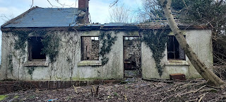
The Hegartys Of The Laurels book cover

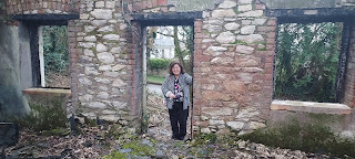
Jim , Anne , Pauline , Eileen & Jack Hegarty
outside The Laurels 2022
On Thursday evening on April 7th 2022 , the Official book launch of " The Hegartys of The Laurels " by Jim Hegarty took place at Cork City Library on the Grand Parade. By personal invitation of Jim Hegarty , the Togher Historical Association turned up to archive the entire event. A great turnout by Togher was very much in evidence as Tidy Towns and Community Association also gave their support. Following is a fantastic showcase of photos and videos of the nights proceedings.

Act 1 Military re-enactment members
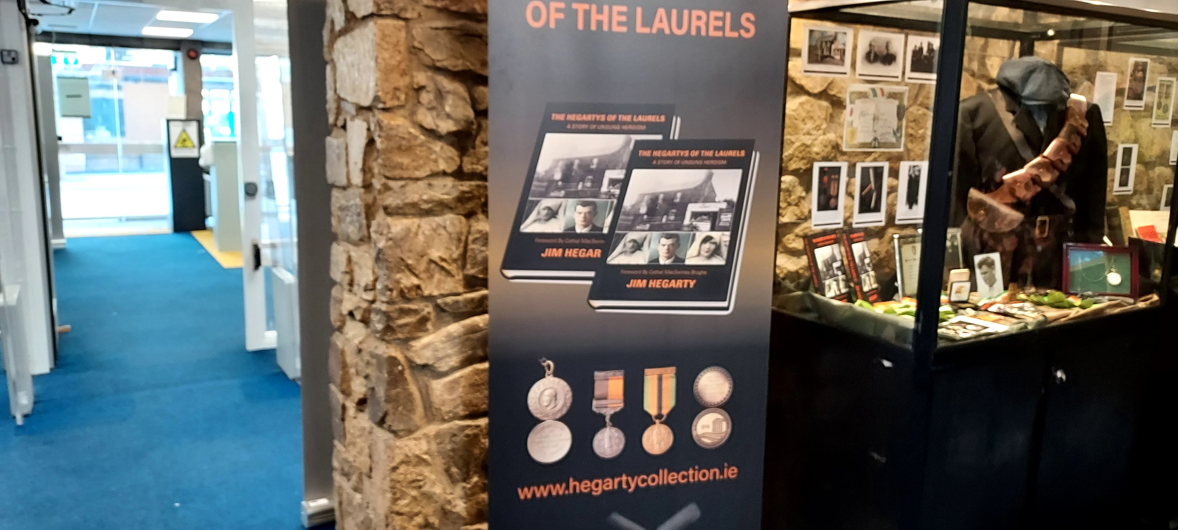
Visitors to the event were treated to an extravaganza of War Of Independence memorabilia from the front door to the main hall. Members of Act 1 reenacted Irish Citizen Army soldiers ( with their trademark Slouch hat and white linen kit bag ) and Irish Volunteers sporting bandoliers ( shown above ). The foyer was laid out with enclosed glass cabinet displays detailing the archives of John Joe Hegarty and his two sisters Mamie Forde and Nan Fennell including a display dedicated to Joe Murphy who served under John Joe Hegarty in H Company.

and the uniform he would have worn while in action


worn in the Lough Church in 1920

and photo showing her sister Nan as bridesmaid

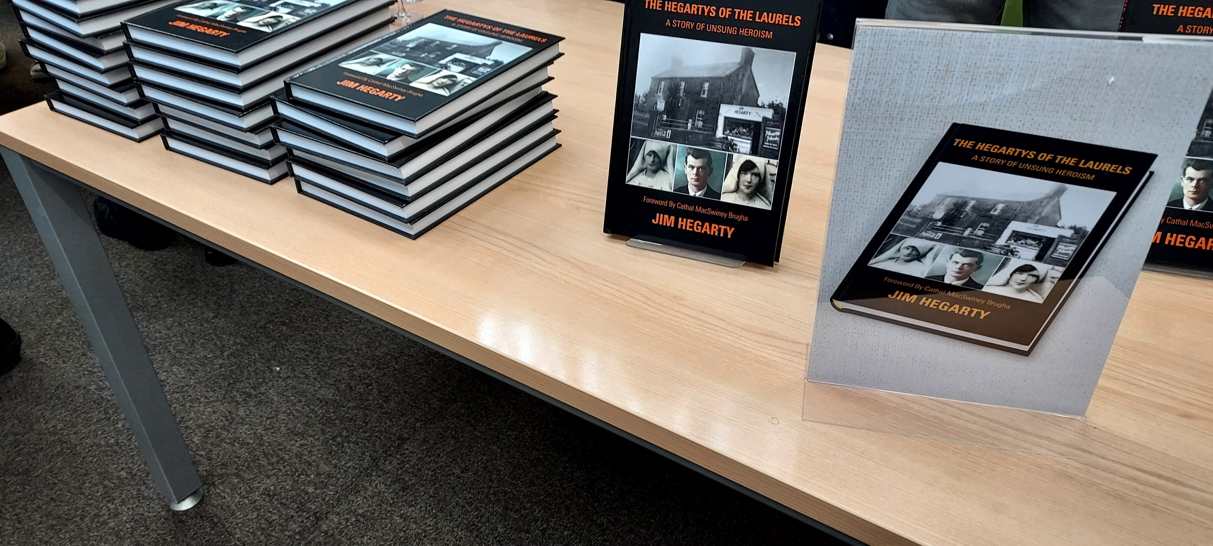
The main hall of the Library was given over to the evenings event with a stall serving refreshments to the right and a table laden with the new books for sale to those present. The left side of the room was decked out with seating for members of the Hegarty clan and invited members of the public. Facing this was the speaking podium with banner stands in the background showcasing Togher Tidy Towns , The Hegartys of The Laurels and Togher Historical Association. Before the evening started , Billy O'Brien and Kathleen O'Keeffe touched base with Jim and his sisters Ann and Pauline. Fergal O'Connor of Togher Tidy Towns also touched base to discuss ongoing projects which the Historical Association are involved in. These include plans to build a replica well near Togher Cross and the recent developments around a Peace Park dedicated to the Hegarty sisters in Clashduv Park.
Adam Duggan and Act 1 Military procession
with Lord Mayor & Jim Hegarty
The hall was soon packed out and the event commenced with Adam Duggan
piping in the Volunteer actors followed by Lord Mayor Colm Kelleher and
Jim Hegarty. Lord Mayor Colm Kelleher gave the opening speech remarking
on the huge turnout despite the event not being publicised. Jim Hegarty
then gave his introductory speech on the background to the book and his
Father and Aunts involvement in the War of Independence and Civil War.
Togher Historical Association made a special presentation of a placue to Jim Hegarty in honour of his Father , John Joe Hegarty ( see below ). The event closed with photoshoots which saw everybody from former T.D.s
and Lords Mayor ( John Dennehy - Togher's only Lord Mayor to date ) to the Bishop of Cork! Such was the importance placed on this event , that the Togher Community Association cancelled their meeting to attend the book launch. All relations of
the Hegarty , Forde and Fennel clan were present to celebrate their
families legacy and lineage.

Lord Mayor Colm Kelleher opening speech
Jim Hegarty speech at City Library

with Anne O'Driscoll ( nee Hegarty )

Jim Hegarty , Lord Mayor Colm Kelleher & Bishop Buckley


and Lord Mayor Colm Kelleher

with former Lord Mayor John Dennehy seated centre

- Togher Historical Association , Fergal Dennhey
- Togher Community Association & Jim Hegarty

Gus Fennell ( Nan Fennell's son )
& Jack Hegarty ( John Joe Hegarty's son )

Shirley Kelleher ( Joe Murphy's grand niece ) & Jim Hegarty

Jim Hegarty & Helen Van Lakem ( nee Carroll )
Andalucia , Spain 13th May 2022

Eileen , Pauline , Lord Mayor Colm Kelleher ,
Jim , Jack & Anne at Book Launch